- 01:30 h
- 441 m
- 1,540 m
- 1,981 m
- 441 m
- 2.68 km
- Start: Breitlauenen, mittelstation Schynige Platte-Bahn
- Destination: Schynige Platte, Bergstation der Schynige Platte-Bahn
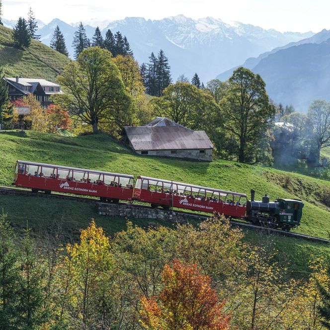
At Breitlauenen station, where you can enjoy wonderful views of Lakes Brienz and Thun and the pre-Alp peaks Brienzer Rothorn, Augstmatthorn, Hohgant and Niederhorn, the path leaves the railway tracks and branches off into the forest, after which a well-kept gravel path takes you ever higher. Here the trail branches off from the railway line, leads down through the forest and then climbs steadily along a well-maintained gravel path. At intervals you come across lovely views of Lake Brienz and the Bödeli, the plain between Lakes Thun and Brienz. The forest soon thins out and the trail crosses some deep gullies, where the path is secured with a railing. The views widen, soon taking in the entire Lauterbrunnen Valley. You gain altitude crossing the wide basin of Alp Bigelti parallel to the Schynige Platte Railway and, after one last turn, reach Schynige Platte. The inspiring panoramic view that awaits you here is stunning. To the east, you can see the valley of the Black Lütschine with Grindelwald, to the south the valley of the White Lütschine with Lauterbrunnen and the small village of Isenfluh nestled on its terrace above. Between them you can see the green domed peak of the Männlichen and the majestic Eiger, Mönch and Jungfrau peaks in all their splendour. Ferdinand Hodler immortalized these fascinating views in several magnificent paintings of these grandiose giants in ice and rock.
Good to know
Best to visit
Directions
Equipment
Directions & Parking facilities
Additional information
(in the printed summer panoramic map of the Jungfrau Railways)
Safety guidelines
Nearby